


Ocean, Beach and Harbor Conditions
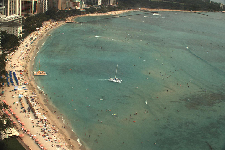
PacIOOS currently operates the initial components of an operational network of high-frequency radios (HFRs), ocean gliders, wave buoys, coastal ocean and harbor moorings, and numerical models to produce to most accurate information possible. HFRs are operational on the south shore of Oahu and provide maps of surface currents up to 30 miles offshore. In collaboration with CDIP 5 Datawell directional wave buoys are deployed in the ocean waters of Hawaii, Guam and the Marshall Islands. Harbor monitoring systems are in place at Barbers Point and Kaumalapau, providing needed information to mariners, harbormasters, and those engaged in the Hawaii Harbor Modernization Program.